


Welcome to Berthoud Pass, where skiers have been exploring the peaks surrounding US Highway 40 as it climbs and descends Berthoud Pass since the 1930s. The former home of one of Colorado’s pioneering ski areas, it has grown into one of the most popular backcountry ski destinations on the Front Range. From Pumphouse Basin to First Creek, and all the classic routes of Colorado’s best known backcountry ski terrain, this bundle puts the entire zone in your hands.
Together, the premier ski atlas and the waterproof, foldable topo map lay out 100+ routes, plus their approaches and exits, that make the terrain on Berthoud Pass famous.
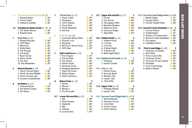
In the atlas, the author Rob Writz has put his breadth of knowledge and years of experience on Berthoud Pass into this one-of-a-kind guidebook. From big lines to mellow day tours and everything in between, this book will help increase your understanding of the terrain so that you can plan a successful and smart tour. You’ll find high-quality aerial photos and detailed descriptions to support real decision-making. Both the atlas and the map are lightweight and packable and include ascent and descent lines, resort boundaries, trailheads and parking info, Avalanche Terrain Exposure Scale (ATES) ratings, aspect, a run list, slope angles, descent lengths, and more.
Coverage includes the following zones:
Pumphouse Basin North & South, West Side, Mt. Russell, No Name, Floral Park, East Side, Hell’s Half Acre, Mines Peak, Lower 80s and 90s, Upper 80s and 90s, Hidden Knoll, Hidden Knoll South, 110s, Upper 110s, Second Creek Ridge East & West, Second Creek Ridge Headwall, and First Creek Ridge.
Included in this product bundle:
- Berthoud Pass Ski Atlas: 5.5” x 8.5” spiral-bound guidebook with high-quality aerial photos marked with skintracks and descents and complete descriptions of terrain.
- Berthoud Pass Ski Map: 18” x 22” 1:13,000 scale waterproof + tearproof topo map (4″ x 5.5″ folded, ~1.5 oz) with contour lines, landmarks and boundaries, and declination.
Designed to go with you on tour and built to pair with the OnX Backcountry App.
APP SOLD SEPARATELY.


